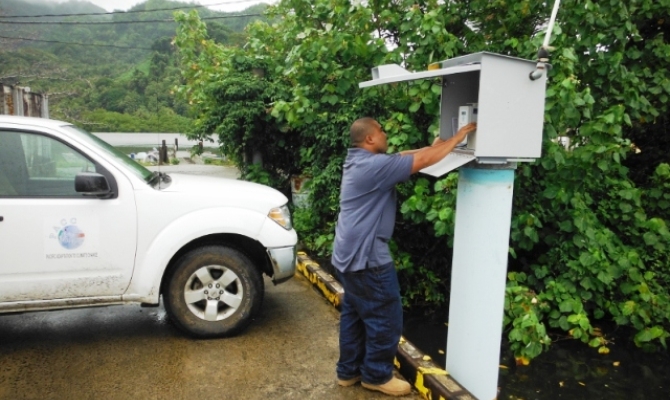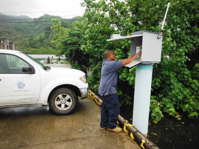
Kosrae has a new set of tide and sea-level forecasts available, based on measurements from a new water level sensor funded by the Pacific Adaptation to Climate Change project at the Lelu Marina, Kosrae.
The PACC project helps 14 Pacific island countries to adapt to climate change through projects that focus on either water security, coastal management or food security. It is implemented by the Secretariat of the Pacific Regional Environment Programme and the United Nations Development Programme; and is funded by the Global Environment Facility and AusAID.
Kosrae, Federated States of Micronesia is adapting coastal road designs to take into consideration the impacts of sea level rise.
 Photo courtesy of PACC FSM
The instrument records the sea level every ten minutes and sends it via satellite to the National Institute of Water and Atmospheric Research Ltd (NIWA) in New Zealand. There the data is analysed and tide tables are produced which predict the high and low tide heights and times for the next three months.
"This is the first time Kosrae has ever had this type of automatic monitoring equipment, we can now relay on our own data instead of having to seek it from elsewhere," said the Federated States of Micronesia PACC National Coordinator, Mr. Simpson Abraham.
"Our plan now is to replicate the work we are doing in Kosrae, in the other three states of FSM – Chuuk, Yap and Pohnpei. We'll need the support of sustainable financing to bring this about."
The tide predictions can be made for many years in advance. The spreadsheet developed to do the tide predictions for Kosrae can do so for any month up until 2030. However there are only seasonal sea-level forecasts from Hawaii up to three months ahead hence the tide and sea level fluctuations.
Information on the daily tides is also distributed to the Kosrae Public Radio Station where they are broadcast twice a day.
The tide tables also highlight the dates of expected very high tides. This enables planning for possible flooding events that can have negative impacts on the coastal population, vegetation and infrastructure.
"Given the amount of development and infrastructure located within the coastal margins of Kosrae, having good sea level information to underpin adaptation decision-making is vital," said Doug Ramsay of NIWA.
"Even with just one year of sea-level data collected Kosrae is benefitting from improved tide predictions and is leading the way in the region in producing three month forecasts combining tide predictions and seasonal forecasts of mean sea-level fluctuation".
Although the tide gauge was not established to record tsunamis, on 6 February this year the Kosrae sensor recorded a one inch change in sea level due to the Solomon Islands earthquake and tsunami. While water level changes from distant tsunamis are sometimes small, they can cause dangerous currents around the coast.
The tide tables of Kosrae can be accessed at www.kosraecoast.com – FSM PACC/SPREP