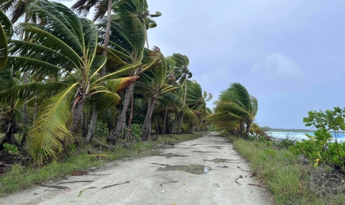
17 April 2024, Yanuca Island, Fiji. The Pacific National Meteorological and Hydrological Services (NHMS) heard fewer Tropical Cyclones (TCs) have been observed than were predicted in the southwest Pacific over the 2023/24 TC season at the Fourteenth Session of the Pacific Island Climate Outlook Forum (PICOF-14).
Held virtually on 16 April 2024, and hosted from the Shangri-La Hotel, Yanuca Island in Fiji, the forum brought together representatives from the Pacific Countries and Territories NHMSs to summarise ocean and atmosphere observations from November 2023 to April 2024 and discuss the seasonal outlook for May to October 2024. An important component of discussions focused on reviewing the SW Pacific 2023/24 TC prediction and the outlook for the coming season for the northwest Pacific.
The South Pacific TC season typically runs from 1 November to 30 April and all year for northwest Pacific, although TCs, can form outside of this timeframe.
Dr Simon McGree, from the Australian Bureau of Meteorology (BOM) presented a review of the Southwest Pacific TC outlook for the current season during the forum.
“In the PICOF-13 statement, BOM, National Institute of Water and Atmospheric Research (NIWA) and Fiji Meteorological Service forecast normal-to-enhanced TC activity in the eastern part of the South West Pacific, and normal-to-reduced TCs in the western, which is typical of an El Niño pattern.”
The TC forecasts were based on the analysis of El Niño-Southern Oscillation (ENSO) oceanic and atmospheric conditions over July to September 2023. ENSO is a recurring climate pattern involving changes in the temperature of waters in the central and eastern tropical Pacific Ocean. ENSO affects TC distribution in the tropics.
Dr McGree went on to provide the observed number of TCs (to date) this season, “In the BOM forecast area, there were seven TCs, four of these classified as severe (Category 3-5). This is below the BOM long-term average of nine TC in terms of total numbers.”
In summary, for this season, the PICOF-14 session noted there were fewer than expected TC’s in the eastern southwest Pacific, and in line with the outlook, the western basin experienced normal to reduced activity. Similarly, Mr Brandon Bukunt, from the National Oceanic and Atmospheric Administration (NOAA) also mentioned that TC activity was well below normal for western North Pacific (WNP) basin, with a distribution that did not follow the typical expectations for an El Niño onset year. It’s the fourth year in a row with below normal typhoon counts across the WNP basin.
Mr Brandon Bukunt, from the National Oceanic and Atmospheric Administration (NOAA) provided TC outlook for the next season (May – October 2024) for the northern Pacific region. According to NOAA’s Climate Prediction Centre, he said, “this year is a transition year with El Niño fading quickly and La Niña favoured to materialise within the coming months, possibly between June and August 2024 ”.
The forecast of the onset of La Niña, where the temperature of the ocean is cooler than average in the eastern Pacific, the next months will typically favour a reduced TC threat for Micronesia and Hawaii. Palau, in the far western part of Micronesia, may see near-normal TC activity.
Senior Climatologist for the Secretariat of the Pacific Regional Environment Programme (SPREP) Mr Philip Malsale, highlighted the need to monitor TCs and climate outlooks through the monthly Ocean and climate Outlook forums (OCOF). “With the forecasted La Niña, we predict increased rainfall in the west. In countries such as Palau, Papua New Guinea, Solomon Island, New Caledonia, Vanuatu and Fiji. Making communities prone to flooding, landslides and may cause damage to infrastructure. For this reason, we must develop timely and relevant climate information to specific inform sectors to prepare our Pacific communities ahead of the impacts of such climate events.”
The PICOF-14 statement with details of the coming season will be available on the 26 April, 2024.
PICOF-14 was hosted on 16 April 2024 at the Shangri-La Hotel, Yanuca Island, Fiji. PICOF sessions are co-sponsored by the European Union through the Intra-ACP Climate Services and Related Applications (ClimSA) project, World Meteorological Organisation through the Climate Risk Early Warning Systems (CREWS) Pacific SIDS Project, funded by the CREWS Initiative and Environment and Climate Change Canada (ECCC). Australian Bureau of Meteorology (BOM), National Institute of Water and Atmospheric Research (NIWA), Secretariat of the Pacific Regional Environment Programme (SPREP) and Pacific Community (SPC) support is largely provided via the Australian and New Zealand Aid Funded Climate and Oceans Support Program in the Pacific (COSPPac).
For more information, please contact the Pacific Meteorological Desk Partnership at [email protected] or your local National Meteorological and Hydrological Service.